Top 5 Construction Survey Drones in the USA for 2025
Published on Wednesday, April 2, 2025
Construction survey drones play a vital role in monitoring building sites, providing aerial surveys that enable project managers to track progress and manage resources more effectively. In recent years, advancements in drone technology have made these devices more accessible and appealing for construction companies across the USA. Not only do they reduce the time needed for surveying large areas, but they also improve accuracy, leading to better project outcomes. With the growing emphasis on efficiency and data-driven decisions in the construction industry, the popularity of construction survey drones continues to soar, revealing the significant advantages they bring to project management and resource allocation.
Top Picks Summary
DJI Mavic 3 Enterprise
The DJI Mavic 3 Enterprise is renowned for its unmatched combination of portability, advanced imaging capabilities, and intelligent features. This drone integrates a powerful camera system that captures stunning 48MP images and 4/3 CMOS sensor video, making it ideal for surveying and inspection tasks. With advanced flight modes and reliability, it excels in efficiency and precision. Its compact design allows for easy transport, making it a popular choice among professionals in various industries.

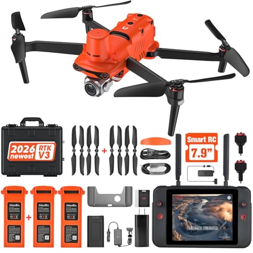
Autel Robotics EVO II Pro RTK
The Autel Robotics EVO II Pro RTK stands out with its advanced RTK capabilities and robust 6K camera, delivering superior imaging performance for commercial applications. It offers impressive flight times and flexibility, easily adapting to various aerial tasks such as mapping and inspections. The drone features obstacle avoidance, making it safer for operation in complex environments. Additionally, the EVO II Pro RTK’s user-friendly interface allows for seamless operation, attracting both beginners and experienced pilots.
SenseFly eBee X
The SenseFly eBee X is a top-tier fixed-wing drone known for its incredible flight autonomy and versatility in various mapping applications. With its lightweight design, it can cover large areas efficiently, making it a favorite for surveyors and environmental monitoring. Equipped with a range of camera options, it delivers high-resolution imagery to meet diverse project requirements. Its robust design and ease of use make it a market leader in the mapping and geospatial sectors.

DJI Matrice 300 RTK
The DJI Matrice 300 RTK is a cutting-edge commercial drone celebrated for its versatility and robust performance in challenging environments. Featuring AI capabilities, excellent flight stability, and multiple payload options, it caters to a wide range of industries, from search and rescue to infrastructure inspections. Its high resistance to adverse weather conditions enhances its reliability and usability. Combined with its advanced safety features, the Matrice 300 RTK is a preferred choice for enterprises needing a reliable aerial solution.

WingtraOne GEN II
The WingtraOne GEN II is a leading vertical take-off and landing (VTOL) drone that combines the benefits of fixed-wing flight efficiency with the flexibility of multirotors. This drone is designed for professional mapping and surveying tasks, boasting a high-resolution camera that captures detailed aerial imagery. With its long flight range and easy deployment, it is well-suited for large-scale land surveys and construction projects. Its compact design and lightweight structure ensure portability, making it a go-to choice for surveying professionals.

Construction survey drones provide rapid and accurate site surveys, integrating with building information modeling (BIM) to keep projects on schedule and under budget.
Understanding the Benefits of Construction Survey Drones
Construction survey drones enhance project efficiency and accuracy. Here's why they're becoming essential tools in the industry.
Reduced Survey Time: Drones can cover vast areas in a fraction of the time it would take traditional survey methods, allowing for faster project initiation.
Increased Accuracy: Advanced sensors improve data collection accuracy, minimizing errors and costly rework during construction.
Real-Time Data: Drones provide real-time surveillance and updates, helping project managers make informed decisions quickly.
Cost-Effective: By reducing manpower needed for manual surveying, drones can lead to significant labor cost savings for construction firms.
Enhanced Safety: Drones can survey hazardous areas without putting workers at risk, promoting safer construction sites.
Visual Documentation: Aerial imagery and 3D models help in better communication with stakeholders, ensuring everyone is on the same page throughout the project lifecycle.
Frequently Asked Questions
Which drone should a construction survey team buy?
Choose the DJI Mavic 3 Enterprise for construction surveying teams needing portability plus high-quality imaging, with a 4/3 CMOS sensor and up to 46 minutes flight time; it’s rated 4.8 and lists for $6,599.00 USD
Does the Autel EVO II Pro RTK have RTK?
Yes—the Autel Robotics EVO II Pro RTK includes POS capabilities for precise data collection and offers long-range transmission up to 9 mi; it has a 6K camera, is rated 4.7, and costs $2,999.00 USD
How does the SenseFly eBee X price compare?
The SenseFly eBee X pricing isn’t listed here, but it’s rated 4.6 and offers up to 90 minutes long endurance with in-flight waypoint navigation, designed for large coverage mapping.
Which drone covers the largest areas fastest?
The SenseFly eBee X is built to cover large areas efficiently, with long endurance of up to 90 minutes and in-flight waypoint navigation; it’s rated 4.6.
Conclusion
In USA, as construction companies increasingly adopt modern technologies, construction survey drones stand out as innovation leaders. We hope you found valuable insights on the best options for 2025. If you're looking for more specific information, please use the search bar to find what you need!